I came up with it before that but I'm not going to claim I'm the only one, or even that I didn't hear it somewhere and have it get into my weights and stochastically parrot it later.
My guess is that Miami and Washington are there for essentially rhetorical reasons. Miami is often talked about as a city that's vulnerable to climate change, and Washington is the capital.
Over water, probably something like the entire 60th parallel south.
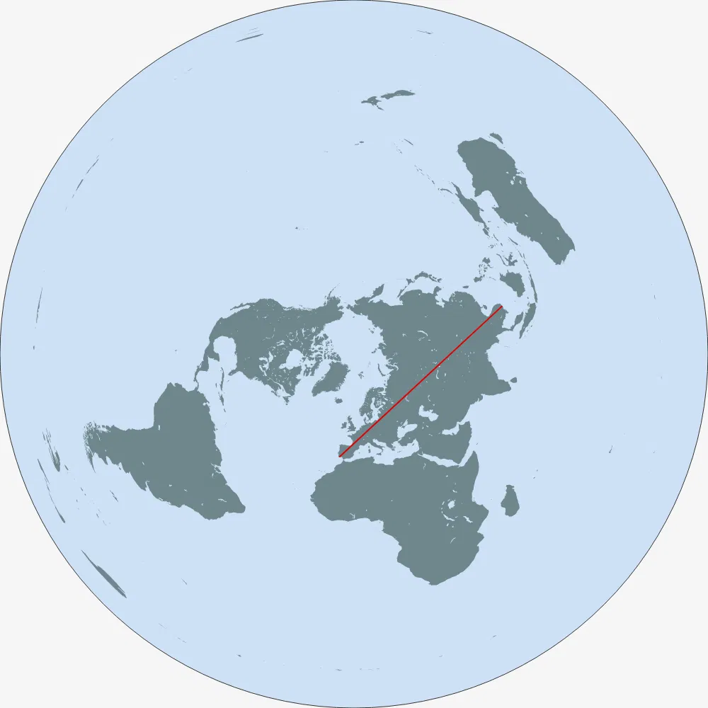
Over land, I think you want to start near the westernmost point of the African continent and thread the needle of the Isthmus of Suez, and stay south of the Caspian Sea. At least in the projection gcmap.com uses (plate carree - essentially the x-coordinate and y-coordinate are just raw longitude and latitude), this keeps you south of Lake Baikal and allows you to get very far east in far eastern Russia. Something like 17.5 N, 16 W to 69 N, 178.5 E seems to work:
This is different from the Portugal-to-China path that is the longest over land in reality, which a flat-earther would have crossing the Mediterranean.
Yeah, but how do they explain, that the same world looks different, e.g. having different distances and angles depending on the map "type"? This is kind of important for traveling, navigating or measuring the size of the property you own.
They’re flat earthers, they either have no explanation or a completely bogus explanation. Certainly don’t look for any semblance of reason. They just invent whatever to try and feel like they have some secret knowledge.
I'm just curious. I think they still believe to have a consistent worldview themself, as every human does. My question was more regarding their self-understanding and less the kind-of "marketing" they throw at outsiders.


reply